Showing posts with label geology. Show all posts

Tuesday, January 15, 2019

A new way of looking at ice

This morning, Mid-Michigan woke up to find everything covered in a layer of ice.  The icy road meant that dozens of schools throughout the state canceled classes for the day.  Weather conditions haven't changed so there is a good chance that classes will be canceled again tomorrow.It's winter here in Mid-Michigan.  During winter you might expect to see everything covered in ice and snow, but have you ever thought about what ice and snow are?

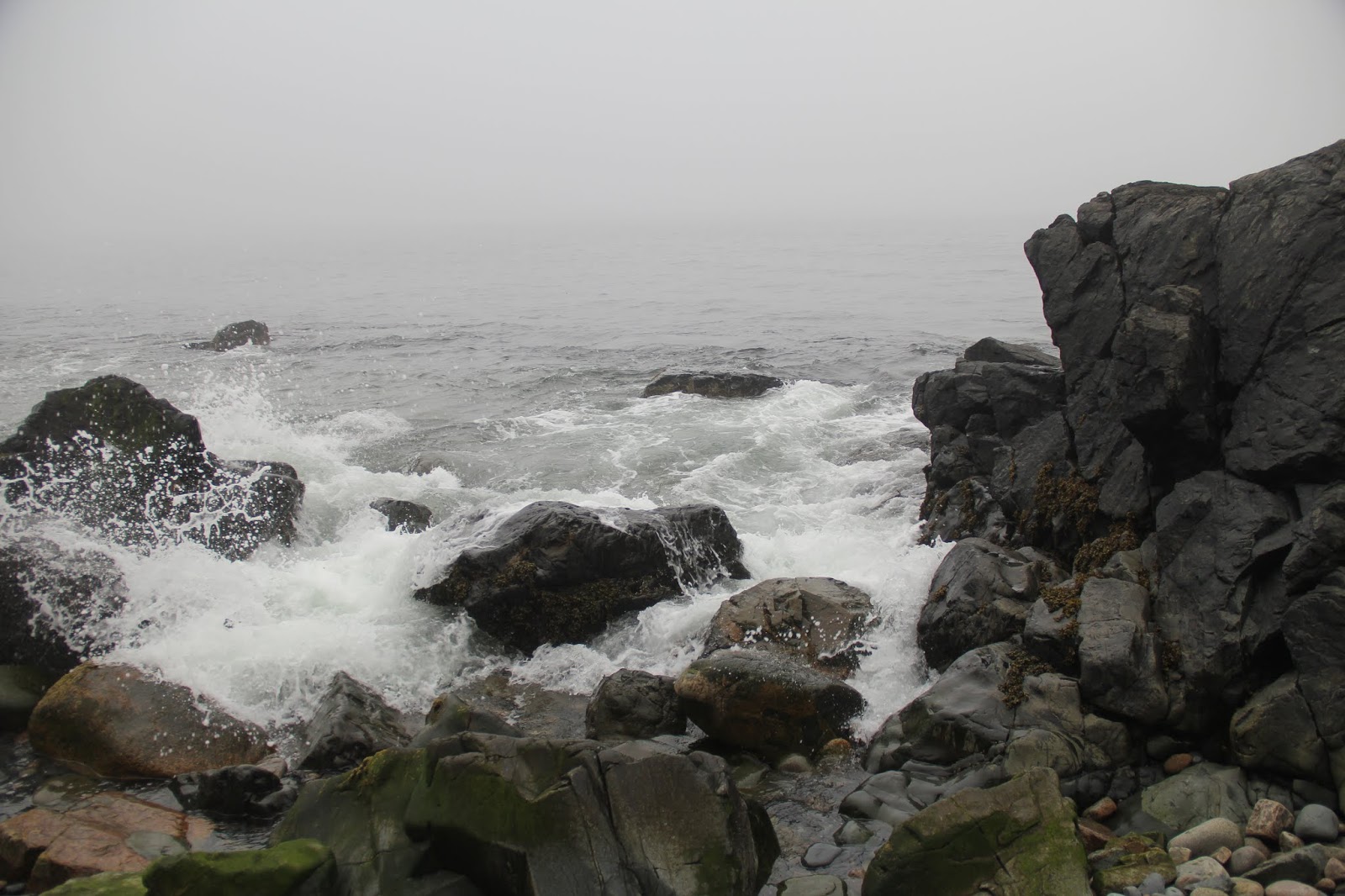
The obvious answer is that ice (and snow) is the solid state of water.

The less obvious answer is that ice is a mineral.  

Yes, a mineral.

Like the thing that rocks are made of.


How is that possible?  If you look at the definition of a mineral, ice checks all of the boxes.  A mineral is a naturally-occurring inorganic crystalline solid with a specific chemical composition.

Ice is naturally-occurring.  Ice can form outdoors when the temperature drops below 32 degrees Fahrenheit.  (As I write, the temperature outdoors is 28 degrees.)  Ice that forms in your freezer is not a mineral because it would be considered man-made.

Ice is inorganic.  Inorganic simply means that it has never been alive.  Things might live in ice, but the ice itself has never been alive.


Ice is crystalline.  Ice forms crystals that have a specific internal structure - the water molecules that form ice bond together in a predictable pattern.  Liquid water and water vapor form much looser bonds and do not lock together in a predictable patter.

Ice is a solid.  When water drops below 32 degrees Fahrenheit, the molecules of water bond together to form a solid.  Only in its solid form can water be considered a mineral; neither liquid water or water vapor meet the definition of being a mineral.

Ice has a specific chemical composition.  Ice is formed from bonded molecules of water, each composed of two atoms of hydrogen and one atom of oxygen.  Other elements or molecules may be included in the ice, but the ice itself is formed only from the water molecules.


Ice is the only state of water that can be called a mineral.  If the ice melts or evaporates to form water vapor (a process known as sublimation) it ceases to be a mineral.  Due to the ability of water to shift states of matter, ice is a very ephemeral mineral across most of the earth.  In mid-latitudes such as where Michigan is located, ice can only be found during roughly half of the year.  At latitudes closer to the equator, ice would only be found in the highest elevations where the temperature can drop below the freezing point.  It is only in the highest elevations and the highest latitudes (the Arctic and Antarctic) that ice can be found year round. 

It's fun to look at familiar things in new and unexpected ways - like looking at ice as a mineral.  Right now large portions of the United States and Canada are rich in naturally formed ice, but come the period May to September it will be unavailable at any price throughout much of the same region. 

Tuesday, October 23, 2018

Upcoming Event - 2018 Mid-Michigan Rock Club Annual Show and Sale (03 - 04 November 2018)


On Saturday November 3rd and Sunday November 4th, the Mid-Michigan Rock Club will be hosting its 25th Annual Rock Show at the Chippewa Nature Center at 400 S. Badour Rd, Midland MI.

The show is open 10:00AM to 5:00PM on both Saturday and Sunday.  Admission to the 2018 show is FREE!

If you are a rock hound or an aspiring rock hound be sure to attend.  This is a great way to add to your collection.  In addition to the regular vendors, the Mid-Michigan Rock Club always has a selection of low-priced rock and mineral samples that can be used to build a beginner's rock collection.  Over the past several years we have constructed beginner rock kits for several nieces and nephews from rocks purchased at this sale.

Also be sure to attend one of the presentations offered during the show.  Presentation topics include Petoskey stones, beach rock identification, and fossils.  For a full list of presentations and more details about the event please visit the Mid-Michigan Rock Club website.

Wednesday, October 17, 2018

Get your Earth Science Week Geek On!

Happy Earth Science Week 2018!

Earth Science Week is an annual week-long celebration of everything earth science.  This celebration is sponsored the American Geosciences Institute.

When you think of exciting earth science locations, Michigan doesn't immediately spring to mind.  That doesn't mean that there isn't a lot to see.

Here are five of my favorite locations in Michigan.

Sleeping Bear Dunes National Lakeshore


Located in the northwest part of the Lower Peninsula, Sleeping Bear Dunes National Lakeshore is probably the best place to see sand dunes anywhere along the Great Lakes shorelines.  These dunes have built up since the end of the last glacial maximum (ice age) and now soar hundreds of feet above the surface of Lake Michigan.  The dunes are not the only attraction - Sleeping Bear dunes also has dozens of miles of hiking trails, some of the best spring wildflowers in the state, and two islands to explore (North and South Manitou).

Pictured Rocks National Lakeshore


If Sleeping Bear Dunes is all about sand, Pictured Rocks National Lakeshore is all about sandstone.  The geologic formation of Pictured Rocks dates back more than 500 million years.  While you can enjoy the Pictured Rocks from land, they are best seen from the water.  Located along the shoreline of Lake Superior near Munising, MI Pictured Rocks National Lakeshore is too far away from Mid-Michigan for a day trip, but can easily be visited during a long weekend.  Not only are there giant sandstone cliffs, but the Lakeshore is home to several spectacular waterfalls and the largest dunes on Lake Superior (Grand Sable Dunes).

Lake of the Clouds, Porcupine Mountains Wilderness State Park


Porcupine Mountains State Park is located near the west end of the Upper Peninsula along the shore of Lake Superior.  The valley that holds Lake of the Clouds was carved out by glaciers from rock dating as much as 1.1 billion years old.  This rock can best be seen from the Lake of the Clouds overlook on the Carp River Escarpment.


As a bonus, this area is home to several fault lines - places where plates of the earth's crust contact each other.  One of these faults can be seen at nearby Bonanza Falls, where the Big Iron river crosses over a tilted layer of Nonesuch Shale.  Bonanza falls is located just east of the park boundary near Silver City, MI.

If you visit the Porcupine Mountains take the time to drive up the nearby Keweenaw Peninsula to visit the A.E. Seaman Mineral Museum at Michigan Technological University.  It's a geology nerd destination in its own right.

Muskallonge Lake State Park


To me Muskallonge Lake State Park is the best place in Michigan to pick up rocks.  The park is located in the eastern Upper Peninsula, tucked between the shore or Lake Superior and inland Muskallonge Lake.  The shoreline of Lake Superior is a rock beach - with new rocks being constantly driven up by waves from the lake this is a rockhunters dream.  I find it impossible to leave with out pockets full of rocks.  Everyone is looking for agates, but some of the igneous rocks are just as beautiful!

As a bonus, Muskallonge Lake has some of the best stargazing I have ever experienced.  We lay on a picnic table watching the stars at 2:00AM for nearly an hour during our last visit to the park.

Bundy Hill Preserve


I hate to say it, but Mid-Michigan is not the best location for geology nerds.  Our rock formations are buried under hundreds of feet of glacial till.  If you can't beat the glacial deposits, you might as well enjoy them!  Bundy Hill is the highest point in Isabella County.  At 500 feet higher than the nearby town of Mt. Pleasant, Bundy Hill is a moraine, formed where two glacial lobes came together, piling sand and rock between them.  Owned by the Chippewa Watershed Conservancy, Bundy Hill is accessible to the public and has two miles of brand new hiking trails.  If you go, make sure to take a picture of the summit marker and search for the large boulders (glacial erratics) that dot the site.  One of these boulders, located near the summit is nearly 40 feet around!

Monday, October 15, 2018

Geology rocks!

Happy Earth Science Week 2018!

Earth Science Week is an annual week-long celebration of everything earth science.  This celebration is sponsored the American Geosciences Institute.

Of the four earth science disciplines (geology, meteorology, oceanography, and astronomy), geology is my favorite.  Geology is the study of the earth itself, the substances that make up the earth, the processes that shape the earth, and how those processes and substances have changed over time (and continue to change today). 

Everywhere we go we see geologic processes and materials, especially rocks in their various states.  It is easy to overlook them because they are so commonplace, but when you understand the processes that shape them and the history behind them rocks are much easier to appreciate. 

It all starts with knowing how rocks form.

Rocks are divided into three main types based on how they form: igneous, sedimentary, or metamorphic.


Igneous rocks form when molten magma or lava cool down and become solid.  Magma and lava are both the same thing – rock that is so hot it has melted.  The only difference between magma and lava is their location.  Magma is found below the surface of the earth.  Lava is found above the surface.

When magma and lava cool down, the molten minerals that are contained within crystallize.  We can tell where an igneous rock formed by looking at the size of the crystals.  Igneous rocks that form below the surface cool slowly and form large crystals.  These rocks are known as intrusive igneous rocks or plutonic rocks.  Igneous rocks that form above the surface cool down quickly and the crystals are smaller because they have less time to form.  These are known as extrusive igneous rocks.

Pegmatite (an intrusive igneous rock) has very large visible crystals.

Devil's Tower is made of intrusive igneous rock - the softer rock surrounding it has eroded away over time.

Sedimentary rocks are formed from smaller particles of rocks and/or minerals that have been fused together by pressure and the crystallization of dissolved minerals.  Large rocks of all types break down over time.  Natural factors such as wind, water, and temperature change cause the surface of rocks to weaken.  This process is known as weathering.  If the surface of a rock breaks down enough, wind and water may remove this weathered material from the surface of the parent rock and deposit it in another location.  This process of removal and deposition is known as erosion.  The particles that are carried away and deposited are known as sediment.

Given enough time these sediments can build up in thick layers.  The weight of upper layers of sediment can cause particles in the lower layers to fuse together.  Sometimes dissolved minerals in the lower layers will crystallize as water is forced out by the pressure of the upper layers.  These minerals act like a cement or glue, further fusing the sediments together.  The layers of sediment can often be seen in sedimentary rocks.
 
Visible layers in sandstone show how this sediment was deposited over time.
 
The angled layers in this sandstone indicate that a current was present when the sediment was deposited.

Metamorphic rocks are rocks that have been changed by heat, pressure, or chemical processes.  The word metamorphic actually means “changed in form”.  The intense heat and pressures that are found deep within the earth can cause changes to preexisting rocks.  The minerals within a rock may partially melt and become glassy in appearance.  The crystals may rearrange themselves in reaction to external pressures.  This often results in bands or “foliations” forming within the metamorphic rock.  Metamorphic rocks can also form through a change in the chemical composition of the minerals within a preexisting rock.

Metamorphic rocks can form from any type of rock.  Igneous rocks, sedimentary rocks, and even metamorphic rocks can all change form.


Fracturing and folding in a metamorphic rock indicate that this rock faced pressure coming from the sides


Sunday, October 14, 2018

What is earth science?

Happy Earth Science Week 2018!

Sponsored by the American Geosciences Institute, Earth Science Week is a week-long celebration of everything related to the earth sciences.  In honor of Earth Science Week, I will be posting something relevant to earth science every single day.

You might be wondering, what is earth science?

Earth science is simply the study of the earth.  It is generally broken down into four disciplines: geology, meteorology, oceanography, and astronomy.

Geology is the study of the earth itself, the substances that make up the earth, the processes that shape it, and how those processes and materials have changes (or stayed the same) over time.  Of the four earth science disciplines, this one is my favorite (but don't tell the other- they get jealous). 

Badlands NP, South Dakota

Meteorology is the study of the earth's atmosphere and how processes and patterns in the atmosphere affect the earth's weather and climate.
 
Isabella County, Michigan

Oceanography is the study of the earth's oceans (and seas) including their patterns, composition, currents, and the organisms that reside in them.

Acadia NP, Maine

Lastly, astronomy is the study of the universe and earth's place in it.  Objects and forces outside the earth's atmosphere can and do have a profound impact on this planet.  This includes everyday actions such as the tides (caused by the moon's gravity) and solar storms to less common events such as asteroid strikes.

Photographed from Alma, Michigan

Although earth science is divided into these four disciplines, they are completely intertwined and cannot not readily be separated.  Other subjects are also inseparable from the study of the earth sciences.  I have a degree in history.  History is in many ways a function of physical geography.  Geography is dependent on geology (and oceanography and meteorology).  Without understanding these larger connections, it is almost impossible to truly understand our place in the world.

Over the next week I'll be sharing an earth science post every single day.  I hope to cover some new ground that I haven't discussed before.

Monday, February 19, 2018

Happy Presidents Day 2018

Theodore Roosevelt National Park near Medora, ND

Happy Presidents Day!

My favorite U.S. President was also one of the nation's greatest champions of conservation.


North Dakota Badlands at Theodore Roosevelt National Park

Theodore Roosevelt was President of the United States from 1901 to 1909.  During his time as President, Roosevelt created designated five national parks; signed the Antiquities Act and used its powers to designate eighteen national monuments, including Devil's Tower (the nation's first) and Grand Canyon; oversaw the creation of the U.S. Forest Service and designated 150 national forests; and designated more than fifty wildlife refuges, including the nation's first at Pelican Island.  Roosevelt's conservation legacy was honored with the creation of Theodore Roosevelt National Park near Medora, ND.  Roosevelt spent parts of several years as a rancher in the area during the 1880s and much of his future conservation ethic was influenced those years.

Devil's Tower was designated the nation's first National Monument in 1906.


Monday, October 16, 2017

Upcoming Event - 2017 Mid-Michigan Rock Club Annual Show (04 - 05 NOV 2017)


On Saturday November 4th and Sunday November 5th, the Mid-Michigan Rock Club will be hosting its 24th Annual Rock Show at the Chippewa Nature Center at 400 S. Badour Rd, Midland MI.

The show is open 10:00AM to 5:00PM on Saturday (04 NOV) and 10:00AM to 4:00PM on Sunday (05 NOV).  Admission to the 2017 show is FREE!

While the show is being held at a new location this year, it actually represents a return to the past.  The first several Mid-Michigan Rock Club shows that I attended were held at the Chippewa Nature Center.  Over the past few years, the show has moved to a couple different locations, before returning back to the CNC for this 2017.


If you are a rock hound or an aspiring rock hound be sure to attend.  This is a great way to add to your collection.  In addition to the regular vendors, the Mid-Michigan Rock Club always has a selection of low-priced rock and mineral samples that can be used to build a beginner's rock collection.  Over the past several years we have constructed beginner rock kits for several nieces and nephews from rocks purchased at this sale.

Thursday, October 12, 2017

Earth Science Week 2017 - Thursday

Happy Earth Science Week 2017!

The Mississippi River is known as "The Father of Waters".  The name comes from the Algonquin language group and translates roughly as "large flowing water", "beyond age", or  "ancient father of waters" depending on the translation.  The Mississippi River and its tributaries form the fourth largest watershed in the world.  It drains an area of land from just north of the US-Canada border to the Gulf of Mexico and stretches from the Rocky Mountains in the west to the Appalachians in the east.

This summer we crossed the Mississippi River in two places.  The Great River Bridge connects Gulf Port, IL to Davenport, IA.  The bridge measures 1,245 feet at that point.  I don't have any photos of the bridge, but I did photograph the river from a nearby bluff.


The second place that we crossed the river was at Lake Itasca State Park, MN.  The lake is considered the headwaters of the Mississippi.  The experience of cross the river here is very different.


Here the river is shallow (and narrow) enough that it can be waded across in only a few steps.
From there the river winds through or past 10 states and drains parts of 31 states.


Tuesday, October 10, 2017

Earth Science Week 2017 - Tuesday

Happy Earth Science Week 2017!

Of the four disciplines included in earth science, geology is my favorite.  Mid-Michigan does not have many interesting geological features so whenever we go on vacation we try to see any unique features that are near our destination.  This summer our vacation took us west to North and South Dakota (and places in between).  I have already shared pictures of Custer State Park, Badlands National Park, and Devil's Tower National Monument.  Now I want to share a few pics from two other destinations.

First up is a feature known as "The Castles".  This limestone feature is found in the Custer National Forest  near Reva, SD.  It is listed as a National Natural Landmark by the National Park Service.


My favorite feature of these rocks is the tilted beds of limestone seen in the next image.  It's pretty amazing to think that these beds would have originally been deposited horizontally, then tilted, partially eroded, and then overlain with more horizontal layers of rock.


The next set of images comes from our visit to the South Unit of Theodore Roosevelt National Park near Medora, SD.  This unit of the park centers on an area known as the North Dakota Badlands.  While not as monumental as the Badlands of South Dakota, the scenery is still spectacular.